
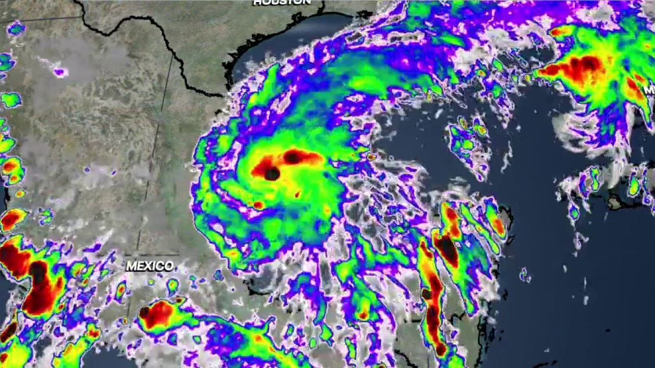
DALLAS – Mostly sunny skies and warm afternoons continue across the region, with rain-free conditions expected through the weekend and early next week.
What we know:
High pressure persists over the area, keeping skies clear with light northeast winds gusting 5 to 10 mph.
High temperatures will hover between 85 and 88 degrees Wednesday and Thursday, with temperatures hovering around 80 degrees by lunchtime.
Morning lows will start in the upper 50s to mid 60s, with the mid 60s concentrated in Dallas and Fort Worth.
An air quality alert is in effect.
Rain chances have been removed in eastern counties for Saturday, and humidity will gradually increase toward the weekend, raising morning lows into the 60s.
High temperatures are expected to approach 90 degrees next week.
7 day forecast

Update on Tropical Storm Isaias:
What’s next:
Tropical Depression Nine strengthened into Tropical Storm Isaias beginning at 4 a.m. Wednesday.
High pressure over Texas will trap all of Isaias’ moisture to the south and east, ensuring that local weather will not be affected by the storm.
The storm is expected to rapidly intensify to hurricane strength by Thursday before making landfall near Gulf Shores and Mobile, Alabama.
Heavy rain is expected across Alabama and the Florida Panhandle, with rainfall totals of 4 to 6 inches and isolated areas receiving up to 10 inches in the northeast quadrant of the storm.
Live Radar

The source : Information in this article comes from Fox 4 meteorologist Ali Turiano.
Gn usa